Contesting Place in a Post-colonial Space
Body

(Re)colonizing Tradition

A Pedestrian Guide to a "Traditional" City

Welcome to Bhaktapur

[1] The Tea Stall at Guhepukhu

[2] Nava Durga Chitra Mandir

[3] Khauma Square

[4] Tourist Motor Park

[5] Indrani Pitha

[6]Lasku Dhwakha Gate

[7]Char Dham

[8]Cafe de Temple

[9]Batsala Temple

[10] Batsala Temple

[11] City Hall

[12] The Procession Route

[13] Pujari Math

[14] The Peacock Restaurant

[15] Sewage Collection Ponds

[16] Bhairavanath Temple

Three Social Maps of Bhaktpaur

 Government Map
The government map was made by the Nepali government in 1976 and emplots governmentality."


 Tourist Map
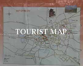
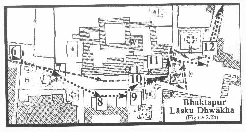
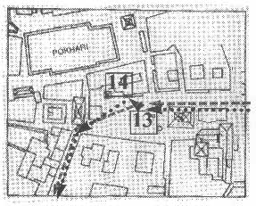
The tourist map was produced in 1997 by the Bhaktapur Municipality and commodifies Bhaktapurıs culture so that it can be sold. In this map, Bhaktapur is displayed as an exotic traditional fossil that lingers on from a premodern time.
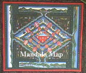
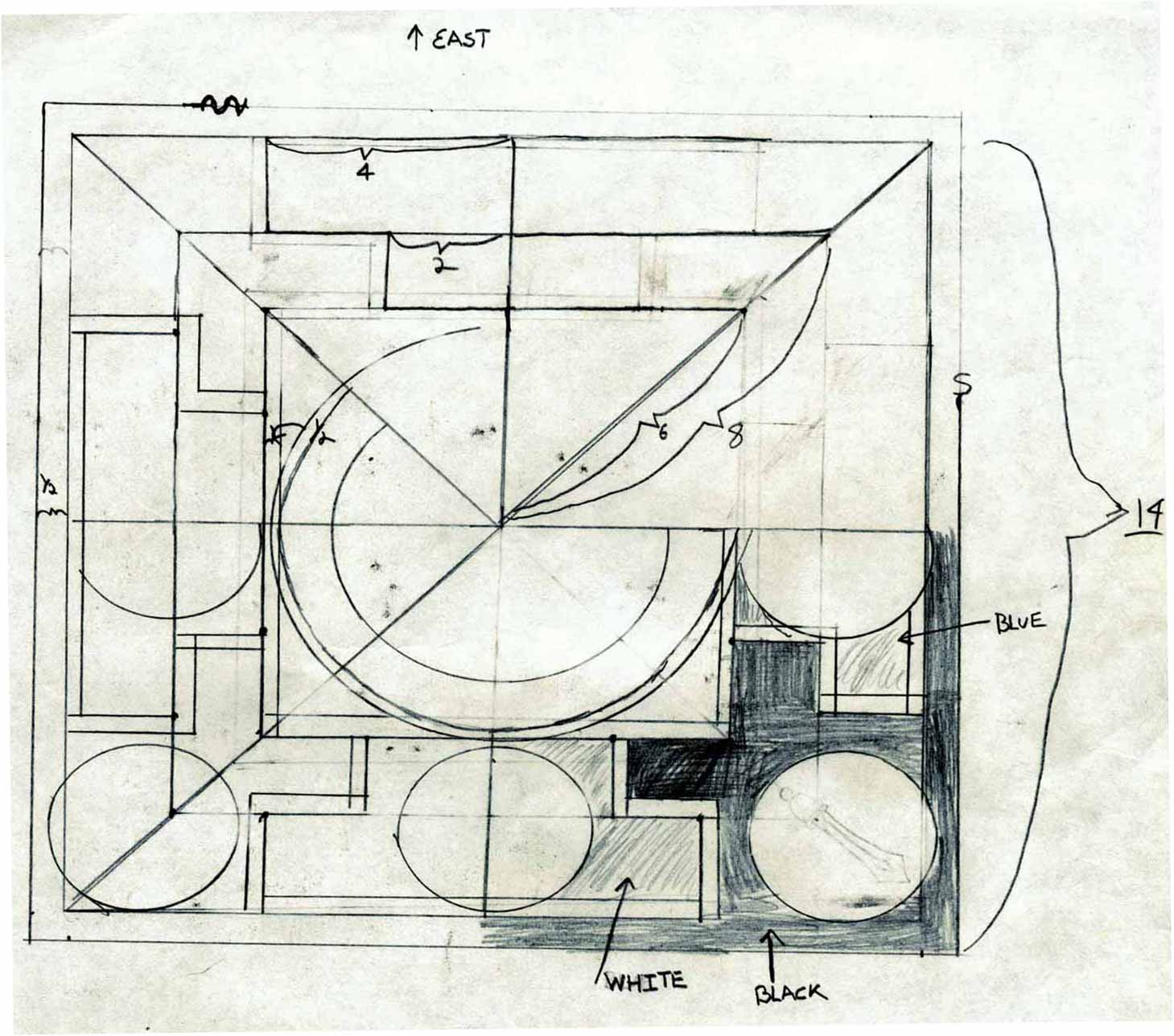

 Mandala Map
The mandala map, plots the cityıs temples as a protective circle. The copy here was made by Madhu Chitrakar in 1999, but other copies circulate in the city. The mandala map is a hala(n) jwala(n), "or a celebration thing."


Maps


Mandala Map

Tourist Map

Government
Map


Pedestrian
Tour Map


Bhaktapur
Durbar Square


Tacapa Map


Satellite
Photograph


Kathmandu
Valley


Goddesses
Key | Bibliography | Maps

İ 2001 Gregory Price Grieve , Site design by GDL Historical Laboratories. .